

514,02 kr

Sponsrade länkar
|
|
514,02 kr |
Til butik
|

|
514,02 kr |
Til butik
|
| JäMFöR ALLA WEBBUTIKER (2) | ||
 Beskrivning
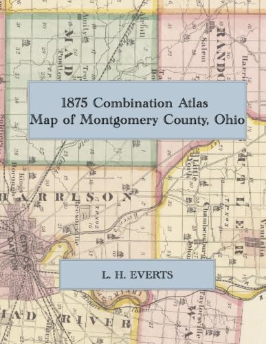
1875 Combination Atlas Map of Montgomery County, Ohio: A Color Facsimile the L. H. Everts Atlas, with Dayton Ward Maps, Township ... County History, and Business Directories
Jämför webbutiker (2)
Sponsrade länkar · Vissa butiker betalar oss en ersättning
514,02 kr
514,02 kr
Butiker med andra storlekar
Beskrivning
(0)
1875 Combination Atlas Map of Montgomery County, Ohio: A Color Facsimile the L. H. Everts Atlas, with Dayton Ward Maps, Township ... County History, and Business Directories
 Relaterade resultat
 Produktspecifikationer


